Revive285 top end recently relaunched their interactive mapping tool, which allows a user to examine in detail the four alternatives under consideration along the entire cooridor. The tool, covering approximately 16 miles of roads, bridges, neighborhoods and businesses on the top end cooridor of I-285 between I-75 and I-85, shows how each alternative may look in any location of interest. You can click here to learn more about the mapping tool and access it directly.
More from the Council for Quality Growth:
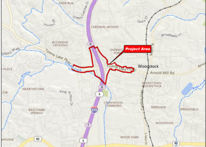
Cherokee County and GDOT Advancing I575/Towne Lake Parkway Improvements
The Georgia Department of Transportation (GDOT), in coordination…

South Fulton Advances Comprehensive Plan to DCA and ARC for Review
The City of South Fulton is moving forward with a…
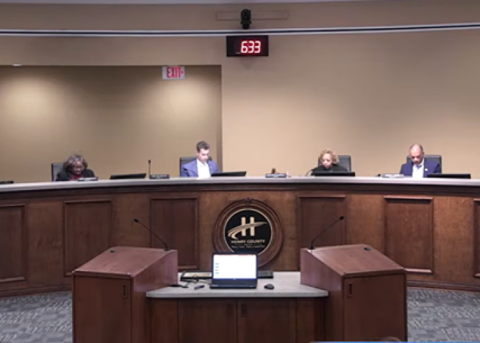
Henry County to Adopt 2026 Unified Land Development Code
At the March 3rd Board of Commissioners meeting, Henry County…

Georgia Power Receives Largest-Ever Loan from Department of Energy for $26.5 Billion
The U.S Department of Energy announced last week its largest-ever…

MARTA Reach to Launch March 7 & Construction Underway on Better Breeze
MARTA is set to begin its new on-demand transit service,…